

Where to ride
Kite spots on the Egyptian Red Sea
The wind system
Why the Red Sea blows so reliably
Almost every spot on this coast is driven by the same weather engine, which is why the forecast for one of them tells you a lot about the others. Understanding it is the difference between chasing wind and planning around it.
What changes from spot to spot is the water: how shallow it is, how far the shelf runs out, and whether the coastline bends the wind onshore or side-shore. That is what these guides describe.
A northerly gradient wind
The prevailing flow runs from the north to north-west, funnelled down the Gulf of Suez and accelerated through the Strait of Gubal before it fans out across the bay in front of Hurghada.
A thermal on top of it
The desert inland heats through the morning, air rises and sea air is drawn in to replace it. That thermal stacks onto the gradient wind and gives the day its shape: light early, filling in between roughly 10:00 and 13:00, strongest mid-afternoon, softer before sunset.
Side-onshore where we teach
At most Hurghada beaches that northerly arrives side-onshore — the safest direction for learning, because a mistake pushes you back towards the beach rather than out to sea.
Flat water inside the shelf
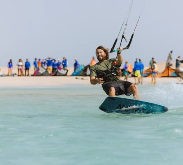
A long shallow shelf of sand runs out from the coast, so the water inside it stays flat and standable. Beyond the shelf it turns choppy, and the island lagoons north of town are flatter still.
7 spots
Spot guides
Tap a spot for conditions, access, hazards and the months it works best.
 All levels
Hurghada
N to NW (side-onshore at most Hurghada beaches)
Shallow flat lagoon inside the shelf, choppy open water outside
 Intermediate
Tawila Island
N to NNW, funnelled through the Strait of Gubal
Flat, shallow lagoon in the lee of sandbanks
 Intermediate
Abu Mungar
N to NW
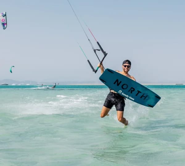
Shallow turquoise flats around a sand island
- All levels
El Gouna
N to NW, side-onshore in the bay
Large shallow bay — flat inside, choppier at the mouth
 Advanced
Safaga
N, funnelled and often stronger than Hurghada
Open bay — chop and swell, deeper water
 All levels
Soma Bay
N to NW
Wide shallow sand flats
- Intermediate
Giftun Islands
N to NW
Shallow sandbanks and clear channels around the islands
Not sure which spot fits your level?
Tell us when you are coming and what you can already do on the water, and we will tell you where to ride — and whether you need a lesson first.